South America March Walking Cities: Heat, Hills, Hydration
03/30/2026
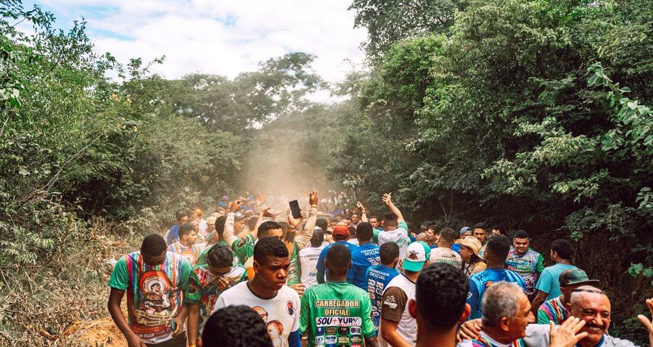
Quito’s historic center sits about 2,850 meters above sea level, while Cartagena can feel hotter than 35°C once humidity joins the forecast. Both cities are walkable in March, but they demand completely different plans. Use the city’s heat, slope, altitude, and water access to set your route before you leave the hotel.
Which South American cities are walkable in March?
March is a strong month for city walking across South America, but “walkable” does not mean the same thing everywhere. In a hot coastal city, the problem is sweat and sun. In a highland city, the problem is thinner air and steep streets. Use the table as a starting point, then check the local forecast each morning.
| City | Typical March day | Main walking challenge | Basic water plan |
|---|---|---|---|
| Cartagena, Colombia | About 31°C, humid | Heat, glare, limited shade | Carry 1.5 L and refill twice |
| Rio de Janeiro, Brazil | About 30°C, humid | Heat plus sharp hills | Carry 1 L; buy cold water en route |
| Medellín, Colombia | About 27°C, changeable rain | Rolling hills and sudden showers | Carry 1 L and a light shell |
| Quito, Ecuador | About 19°C, strong sun | Altitude, slopes, intense UV | Carry 1 L and sip often |
| Santiago, Chile | About 29°C, dry | Dry air and afternoon heat | Carry 1 L; add electrolytes on long days |
| La Paz, Bolivia | About 14°C, cool sun | Altitude and steep climbs | Carry 750 mL; slow the pace |
Choose the city that matches your walking style
For long flat days with colorful streets, Cartagena is the easiest choice, but start early. For a mix of beaches, neighborhoods, and demanding viewpoints, Rio rewards walkers who split the day into short climbs. Medellín is the best middle ground: warm, lively, and less punishing than the coast or the Andes.
Read temperature and terrain together
A 19°C forecast in Quito does not mean a cool, easy walk. The sun feels strong, and a climb at altitude can raise your breathing rate quickly. A 30°C forecast in Rio can feel harder than the number suggests because humidity slows sweat evaporation. Plan from the combined conditions, not the temperature alone.
How should you plan a March walking day?
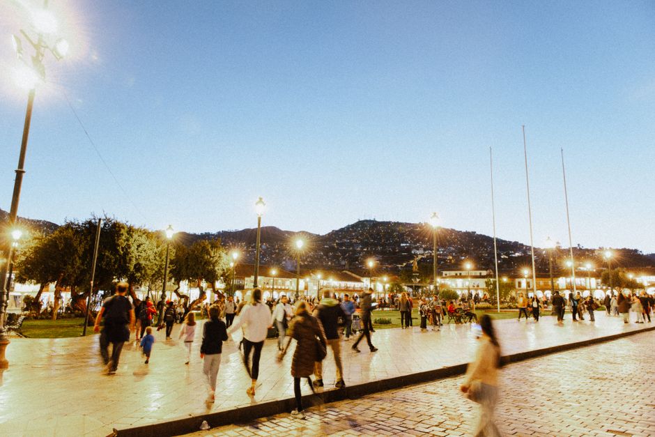
The best schedule is simple: do the longest outdoor section before lunch, reserve indoor stops for the hottest period, and keep the final route close to transport. This pattern works in coastal heat, dry inland cities, and high-altitude capitals.
Start with a cool-hour route
Begin between 7:00 and 8:30 a.m. in Cartagena, Rio, or Santiago. Walk the open plazas and exposed viewpoints first, then move into museums, markets, cafés, or shaded streets from noon to 3:00 p.m. In Quito and La Paz, begin later only if the morning feels cold; the sun can become intense quickly.
Build the day in short blocks
- Set a first walking block of 45 to 60 minutes.
- Stop for shade, a drink, or a bathroom before you feel desperate for one.
- Keep each uphill section under 15 minutes when visiting Quito, La Paz, or Rio.
- Schedule lunch near the next neighborhood instead of crossing the whole city at midday.
- Leave a 30-minute buffer for rain, traffic, slow climbs, or a route change.
Use offline maps before leaving Wi-Fi. Citymapper works well in supported cities, while Google Maps lets you save hotel, pharmacy, and transit locations. The practical winner is the app that still shows your route when mobile data fails, so download the map before your walk.
How does altitude change a city walk?
Altitude changes the effort behind every normal action. At sea level, a staircase may feel like a minor interruption. In Quito, Cusco, or La Paz, the same staircase can make your breathing feel shallow and your legs heavy. That response does not mean you are unfit. Your body is working with less oxygen pressure.
Use the first day as an adjustment walk
At 2,800 meters or higher, keep the first outing to 60 or 90 easy minutes. Choose a route with benches, cafés, and taxi access. Avoid combining a long museum district, a market climb, and a high viewpoint on arrival day. Drink normally, eat a salty meal, and avoid treating alcohol as part of your hydration plan. If you develop a severe headache, confusion, chest tightness, repeated vomiting, or trouble walking straight, stop sightseeing and seek medical help.
Control pace before symptoms appear
Walk slowly enough to speak in full sentences. Take uphill sections in small steps, and pause before your breathing becomes ragged. A trekking pole is useful on steep cobbles, but it does not solve altitude stress. Sleep, food, and gradual effort matter more. In La Paz, a route that looks like 3 kilometers on the map can include several steep climbs and may take twice as long as a flat sea-level route.
Altitude also increases sun exposure. Wear a hat and sunscreen even when the air feels cold. The clearest verdict is this: for highland cities, reducing pace is more useful than carrying extra gadgets.
What should you pack for heat, hills, and water?
My pick for most travelers is a small daypack, one wide-mouth bottle, a brimmed hat, and a light rain layer. You do not need expedition gear for a city walk, but you do need equipment that stays comfortable when the route becomes longer than planned.
Carry water without overpacking
The Osprey Daylite Plus holds 20 liters and weighs about 590 grams, with enough room for a 1-liter bottle, shell, sunscreen, and snacks. For a simple setup, buy the Nalgene and skip a hydration bladder.
Track distance and heat honestly
It is useful for people who want distance, elevation, and route alerts without checking a phone at every corner. It is not necessary for a normal city holiday. Google Maps and a charged phone are enough for most visitors.
Use electrolytes for the right reason
They are useful after several hours of sweating in Cartagena or Rio, but they do not replace food or plain water. For a two-hour museum walk, buy a cold bottle of water instead. For high-altitude walks in cool weather, electrolytes are optional.
Which walking mistakes cause the worst March days?
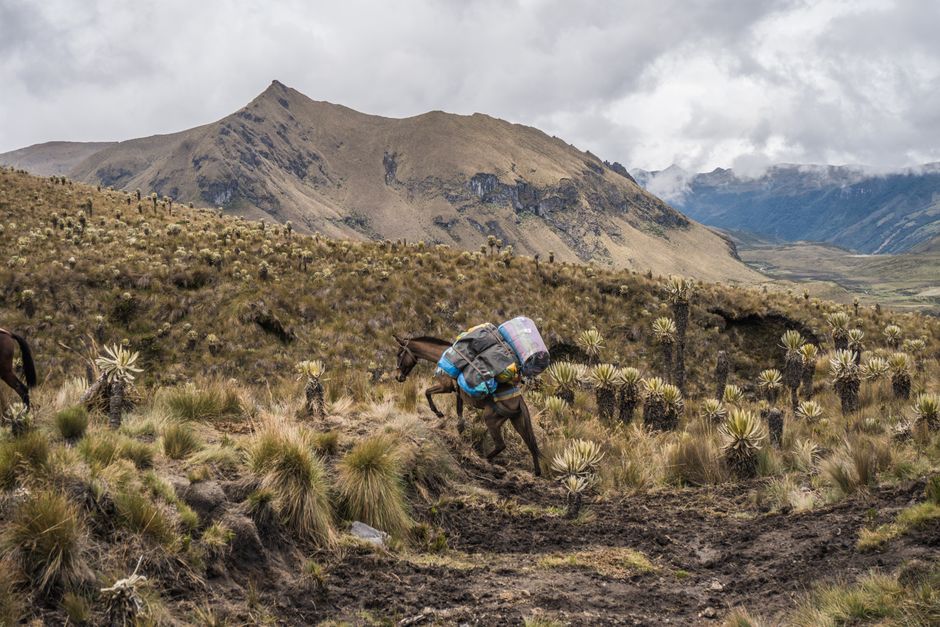
The biggest mistake is saving the longest, hottest route for the afternoon. A close second is treating a hill city like a flat one. Your route should get shorter when the sun gets stronger, the slope gets steeper, or the altitude rises.
Mistakes to remove from your plan
- Starting a coastal walk at 1:00 p.m. with no shade plan.
- Wearing new shoes on a route with cobbles and 10,000 steps.
- Carrying water but forgetting a refill point.
- Climbing to a viewpoint immediately after arriving in Quito or La Paz.
- Assuming a cool forecast means low UV exposure.
- Using a route app without downloading the area first.
The practical verdict
For a first visit, choose one main neighborhood, one indoor stop, and one transport exit. That structure beats a map filled with seven pins. If your group includes children, older travelers, or anyone recovering from illness, cut the planned distance by one-third and add a café stop before the first climb. The goal is a day that still feels good at 5:00 p.m., not a heroic route that ends with a headache.
When should you change the route or skip a walk?
Change plans when the conditions change, not when the map says you should keep going. A safe city walk has an exit: a metro station, taxi stand, hotel, shopping center, or staffed museum within a reasonable distance. Mark two exits before leaving.
Use these stop-or-switch signals
- Move indoors when you stop sweating despite feeling hot, become confused, or feel faint.
- Drop a steep viewpoint when your breathing does not settle after several minutes of rest.
- Shorten the route when rain turns cobblestones slick or lightning reaches the area.
- Replace an exposed midday walk with a museum, market, or café route when shade disappears.
- Seek local medical help for chest pain, severe shortness of breath, fainting, confusion, or repeated vomiting.
Choose the right alternative
A bus, cable car, metro ride, or short taxi trip is not a failure. In Rio, use transport to reach one hill and walk downhill. In Medellín, take the metro or Metrocable to reduce the longest climb. In Quito, visit the historic center in short blocks and save a high viewpoint for a later day. In Santiago, do the exposed park route early and move indoors during the hottest hours. The best March walking plan is the one that leaves enough energy to enjoy the next street.